
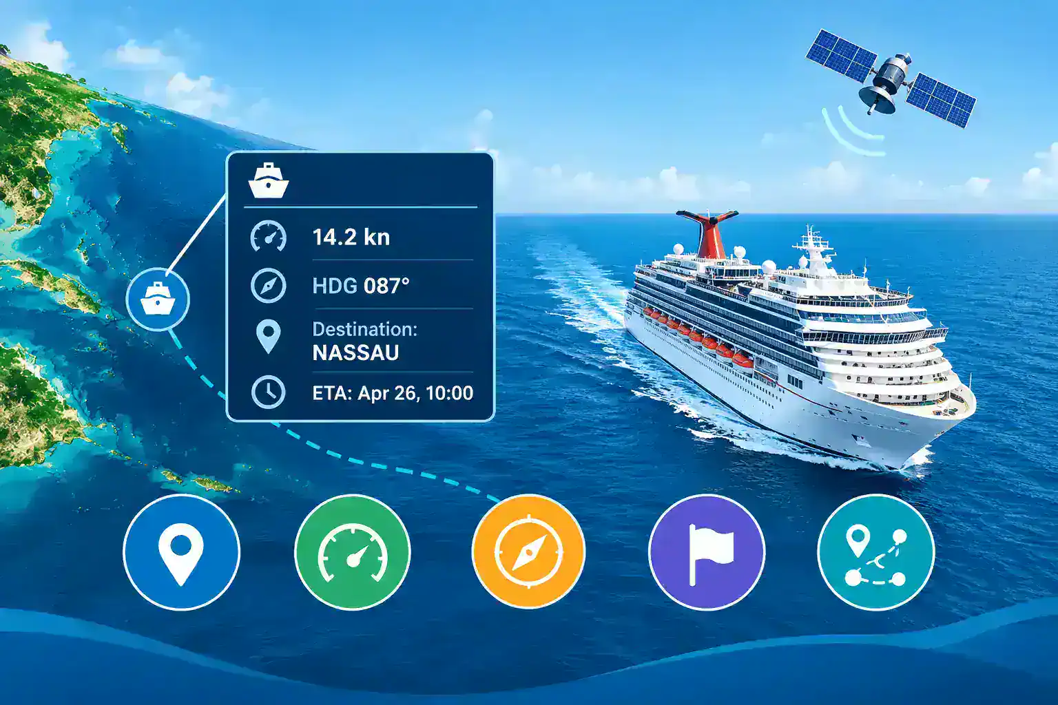
You open a cruise ship tracker and see a small icon in the middle of the ocean. Next to it: “14.2 kn,” “HDG 087°,” and “Destination: NASSAU.” What does that actually tell you?
Quite a lot, if you know how to read it. Used well, a cruise ship tracker can tell you whether a ship is on schedule, where it’s likely to dock, and whether weather has changed its plans. Used badly, it can make you panic over a ship that is simply anchored or out of signal range.
This guide explains what each data point means, where it comes from, how accurate it is, and how to avoid the mistakes people make most often.
What Is a Cruise Ship Tracker?
A cruise ship tracker is a website or app that shows where a cruise vessel is on a map, usually in real time or close to it. Most trackers show:
- Current position (latitude and longitude)
- Speed
- Heading and course
- Reported destination and estimated arrival time
- Recent track history
Almost all of this comes from one technology: AIS.
How AIS Powers Cruise Ship Tracking
AIS stands for Automatic Identification System. It’s a radio system that ships use to broadcast their identity, position, and movement to nearby vessels, port authorities, and receivers on land or in orbit.
Under the International Maritime Organization’s SOLAS rules, AIS is required on all passenger ships, and on cargo ships of 300 gross tons or more on international voyages. That means every large cruise ship carries it.
Here’s the basic chain:
- The ship’s GPS receiver calculates its position.
- The AIS transponder broadcasts that position, plus speed, heading, and other data, on VHF radio.
- Shore stations or satellites pick up the signal.
- A tracking platform collects the data and plots it on a cruise ship tracking map.
Expert tip: When you use AIS cruise ship tracking, you’re not seeing a “live video feed” of the ship. You’re seeing the last message that a receiver picked up. That distinction matters for almost everything below.
How Often Is Cruise Ship Location Data Updated?
Update speed depends on what the ship is doing. Under the AIS standard for large ships (Class A), position reports go out:
| Ship status | Typical reporting interval |
| Fast-moving or changing course | Every few seconds |
| Cruising at steady speed | Roughly every 10 seconds |
| At anchor or moored | About every 3 minutes |
Static and voyage data, such as the ship’s name, destination, and ETA, are broadcast about every 6 minutes.
What you actually see on screen is often slower, because it depends on receiver coverage:
- Terrestrial AIS (coastal stations) works well near shore. Range is limited by line of sight, often around 20 to 40 nautical miles.
- Satellite AIS covers open ocean but can lag by minutes, sometimes longer, depending on the provider and satellite passes.
Where to verify: Check the update-frequency documentation from your preferred tracker, and the technical AIS standard published by the International Telecommunication Union (ITU-R M.1371).
Understanding Cruise Ship Speed
Cruise ship speed on a tracker is usually “speed over ground” (SOG), shown in knots.
- 1 knot = 1 nautical mile per hour
- 1 knot ≈ 1.15 mph ≈ 1.85 km/h
What Is a “Normal” Cruise Ship Speed?
Most large cruise ships cruise somewhere in the high teens to low 20s in knots when they’re on a mission to reach the next port. Many ships can go faster, and a few ocean liners built for transatlantic crossings are designed for notably higher speeds. Exact service speeds vary by ship class, so check the cruise line’s ship specifications for your vessel.
Cruise ships often slow down on purpose. Reasons include:
- Fuel efficiency. Slower speeds can cut fuel burn significantly.
- Early arrival. If the next port is close, the ship may slow to avoid arriving hours early.
- Weather. Heavy seas can force speed reductions.
- Port approach. Ships slow down well before the harbor and dock.
How to Read Speed Changes
| What you see | What it often means |
| 0 to 0.5 kn, near coast | At anchor or docked |
| 3 to 8 kn, near port | Approaching or leaving harbor, or tendering |
| 10 to 15 kn at sea | Slow steaming, possibly for fuel savings or timing |
| High-teens to 20+ kn | Making up distance or sailing a longer leg |
| Sudden drop, open ocean | Weather, medical diversion, or a technical issue (check other sources before assuming) |
Expert tip: One speed reading means little. Look at the track history. A ship at 12 knots for ten minutes is a data point. A ship at 12 knots for ten hours is a pattern.
Understanding Cruise Ship Heading (And Why It’s Not the Same as Course)
Beginners often mix up two numbers:
- Heading is the direction the ship’s bow is pointing, in degrees (0° is north, 90° is east, 180° is south, 270° is west).
- Course over ground (COG) is the direction the ship is actually moving across the earth.
They can differ because of wind, current, and tides. Picture a canoe pointed straight across a river. The bow points at the far bank, but the current carries you downstream. Ships do the same thing on a larger scale.
Quick Heading Reference
| Heading | Direction |
| 0° / 360° | North |
| 45° | Northeast |
| 90° | East |
| 180° | South |
| 270° | West |
A Quirk Worth Knowing
AIS uses the value 511 to mean “heading not available.” If a tracker shows 511, the ship isn’t reporting heading. It doesn’t mean the ship is lost. Similarly, a speed value of 102.3 knots in raw AIS data means “not available.”
Expert tip: To check whether a ship is truly on its way to a port, compare cruise ship heading and course over ground with the bearing from the ship to the port. If both point toward the destination, you can be fairly confident.
Understanding Cruise Ship Destination Data
This is where tracking gets interesting, and where it gets misleading most often.
The cruise ship destination field is typed in manually by the crew. It’s not calculated by GPS. It’s limited to 20 characters, so you’ll see abbreviations, port codes, or odd formatting.
What You Might See
- Full names: COZUMEL
- Shortened names: PT CANAVERAL
- UN/LOCODE port codes: USMIA (Miami), MXCZM (Cozumel)
- Route-style entries: NASSAU>CCAY or AT SEA
Why Destination Data Can Be Wrong
- Not updated. Crews may forget to change it after leaving port. Your ship may show last week’s destination.
- Itinerary changes. If weather forces a port skip, the destination might not update immediately.
- Placeholders. Some ships show “FOR ORDERS,” “AT SEA,” or leave the field blank.
- Private islands. Cruise line destinations may be abbreviated in ways that are hard to decode.
The ETA Field
AIS also includes an estimated time of arrival, entered by the crew. Treat it like a rough guide, not a promise. It may be in UTC and may not reflect recent changes.
Expert tip: Always cross-check destination data against the cruise line’s published itinerary and any port notices. Treat the AIS destination as a clue, not proof.
Illustrative Examples: Reading the Data in Practice
These are hypothetical scenarios to show how the logic works, not reports of specific events.
Example 1: “Is the ship late?”
A family is waiting to pick up relatives at a Florida port. The tracker shows the ship 90 nautical miles out, moving at 11 knots, with a heading toward the port.
At that pace, the ship needs roughly eight hours to arrive. The cruise’s schedule says docking at 7:00 a.m. If the ship usually travels in the high teens, the lower speed hints at either deliberate slow steaming or a problem. The family checks the cruise line’s social media and finds a notice about a weather-related slowdown. The tracker raised the question, and the official source answered it.
Example 2: “Why is it going the wrong way?”
A traveler’s tracker shows their ship heading east, but the next port lies to the west. Panic sets in.
Looking at the track history, the ship made a wide turn earlier and is now rounding a storm system. The heading and the route make sense when you zoom out. A single snapshot misled; the full path told the story.
Example 3: “The ship disappeared!”
A ship vanishes from the map for several hours in mid-ocean. No emergency. Terrestrial coverage ended, and the next satellite update was delayed. The icon reappears with a long straight line connecting the old and new positions, because the tracker simply drew a line between the two reports.
How to Use a Live Cruise Ship Tracker Step by Step
- Search by ship name or IMO/MMSI number. Names can be duplicated or similar, so the IMO number is the safest identifier.
- Check the timestamp. Confirm when the last position was received.
- Read speed and heading together. Don’t rely on either alone.
- View the track history. Look back at least 24 hours when possible.
- Compare destination data with the official itinerary.
- Zoom out and check the weather. Look for storms, closed ports, or detours.
- Verify with the cruise line before making travel plans.
Cruise Ship Tracking Map Features Worth Looking For
A good cruise ship tracking map or cruise vessel tracker should offer:
- A clear “last updated” timestamp
- Track history or trail lines
- Navigational status (underway, at anchor, moored)
- Port information and arrival history
- Satellite and terrestrial coverage
- Weather layers
- A mobile-friendly design
Pros and Cons of Real-Time Cruise Ship Tracking
| Pros | Cons |
| Free or low-cost access in most cases | Data may be delayed, especially far from shore |
| Helps with pickup and drop-off planning | Destination and ETA are manually entered |
| Great for family following a loved one at sea | Doesn’t explain why a ship changed course |
| Useful for hobbyists and ship spotters | Gaps in coverage can cause false alarms |
| Shows real operational patterns | Some ships may limit or switch off AIS in rare circumstances |
Common Mistakes When Using a Cruise Ship Location Tracker
- Treating the icon as live video. It’s the last received report.
- Ignoring timestamps. A position that’s two hours old is not “current.”
- Trusting the destination field blindly. It’s typed by hand.
- Confusing heading with course. They’re related but different.
- Panicking over gaps. Missing data is usually a coverage issue.
- Using ship names alone. Multiple vessels can have similar names. Use IMO or MMSI numbers.
- Planning airport transfers off ETA alone. Docking, immigration, and disembarkation all take extra time.
Who Uses Cruise Ship Tracking, and Why?
- Families and friends follow a loved one’s voyage or plan pickups.
- Cruise passengers satisfy curiosity or check progress.
- Port-side businesses, like shuttle companies and tour operators, anticipate arrivals.
- Ship enthusiasts log sightings and routes.
- Researchers and journalists study traffic patterns, emissions, and port impact.
Safety, Privacy, and Reliability
AIS is a public safety system. Its data is broadcast openly so ships can avoid collisions, which is why tracking sites can display it.
A few reminders:
- A tracker is not a safety or emergency tool. If you’re worried about someone at sea, contact the cruise line directly.
- AIS can be unreliable in rare cases, such as equipment faults or transmission gaps.
- Positions shown on public trackers are not official navigation data and must never be used for navigating a vessel.
Frequently Asked Questions
How accurate is a cruise ship tracker?
Position accuracy is usually good because it comes from onboard GPS. The main limits are delays in receiving the data and gaps in coverage, not GPS error.
Is cruise ship tracking real time?
It’s close to real time near coastlines. In open ocean, satellite-based updates can lag. Always check the timestamp.
Why does my cruise ship show a different destination than my itinerary?
The destination field is entered manually and may not be updated, or it may use abbreviations or port codes.
What does a speed of 0 knots mean?
The ship is probably docked or anchored. At sea, a near-zero speed could mean a stop for operational reasons, so check the cruise line for notices.
What is the difference between heading and course?
Heading is where the bow points. The course is where the ship is actually moving over the ground. Currents and wind can make them differ.
Can I track a cruise ship without an app?
Yes. Most trackers work in a web browser.
Can cruise ships turn off AIS?
Regulations require AIS to remain on in most circumstances, though there are limited exceptions related to security, set by the ship’s master. If a ship disappears, it’s usually a coverage issue instead.
How do I find a ship’s IMO or MMSI number?
Both appear on tracker profile pages and on maritime registries. Search by IMO when possible, since it never changes for the life of the ship.
Why does the track show a straight line across the ocean?
The tracker connected two reports with a gap between them. The ship didn’t actually travel in a straight line.
Conclusion: Actionable Takeaways
A cruise ship tracker is most useful when you treat it as a set of clues, not a guarantee. Speed, heading, and destination each tell part of the story, and together they give you a solid picture.
Do this next:
- Find the ship’s IMO number before you search.
- Check the timestamp every time.
- Read speed and heading together, then look at the track history.
- Treat destination and ETA as hints and confirm with the cruise line.
- Don’t worry about short data gaps in mid-ocean.
- Use trackers for planning pickups, not for emergencies.