
What Is Marine Geocoding and Why Does Shipping Need It?
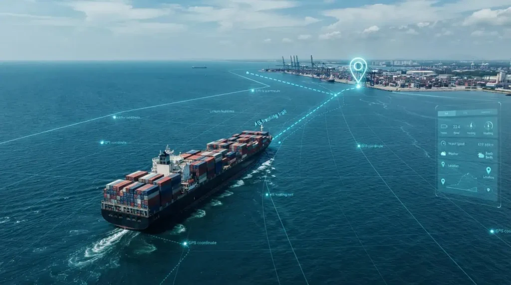
Introduction A container ship reports its position as 31.2304, 121.4737. On its own, that string of numbers means nothing to a logistics dashboard, a customs system, or a port scheduler. It’s just latitude and longitude. Marine geocoding is the process that turns that number into something useful: “Shanghai Port, Berth 12, Yangshan Deep Water Terminal.” […]