
Port to Port Distance Calculator: Miles, Days and What They Cost
Type two ports and get the distance. That is the easy part, and the ShipSearch port to port distance calculator does it in a second, navigable miles along real sea lanes, with sailing time at whatever speed you set. What a distance table cannot tell you is what those miles cost, and that is the rest of this page.
How is Port-to-Port Distance Calculated?
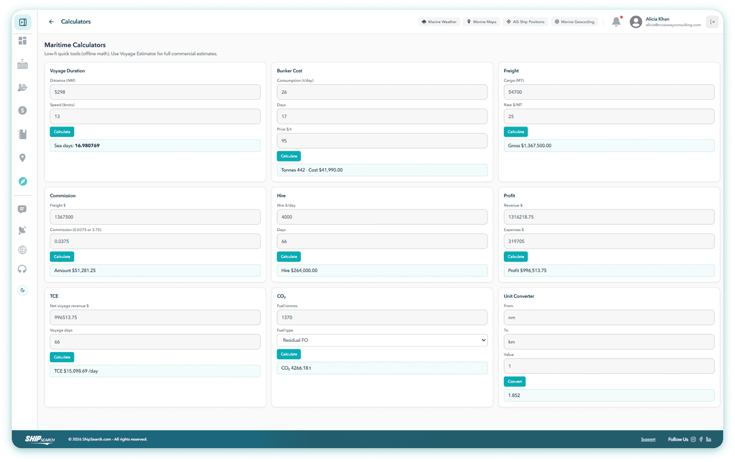
Sea distance is measured along navigable routes around coastlines, through canals and straits not as a straight line between two points, which is why a chart distance and a map distance differ so widely. Sailing time follows from distance and speed: a vessel at 12 knots covers 288 nautical miles a day. A commercial distance calculator also reports how much of the route falls inside regulated zones, because emission control areas and war-risk areas change what the voyage costs, not just how long it takes.
What the Port to Port Distance Calculator Returns
Two ports gives you a distance. Add more stops, by port name or pasted coordinates, and it becomes the whole voyage: distance and sea days per leg, ETA and ETD at every call, port stay you can set individually, and a total voyage duration. Times carry their own zone and local port time stays separate from yours which is usually how a laycan gets missed by a day.
SECA Distance Is the Number That Moves Money
Inside an emission control area the sulphur limit is 0.10% m/m against 0.50% globally, and compliant fuel costs noticeably more. Two routes of identical mileage can carry very different bunker bills.
So SECA distance and SECA time come back as their own outputs on every route. Feed them into the voyage estimator1 and the bunker line reflects what the ship will actually burn, split by grade or route to avoid an ECA entirely and put the longer cheap-fuel voyage next to the shorter expensive one.
Canal transits are routed and timed like any other leg, with dues carried into the estimate as a cost line worth watching on routes where Panama draft restrictions are in play.
Route Around the Risk, Not Just the Land
Piracy avoidance, SECA avoidance, archipelagic sea lane compliance, ice areas, and speed, port stay and weather delay set as defaults or per leg. Set a weather delay as a percentage and the whole schedule moves with it, so the arrival you quote is one you can stand behind.
Underneath is a working marine chart: load line zones, ECA boundaries, Joint War Committee listed areas, high-risk and reporting areas, MARPOL zones, sea marks and bathymetry. Two of those change the terms of a fixture on their own load line zones set seasonal draft, and therefore how much cargo you may legally load; JWC listed areas are where war risk premium attaches and underwriters have to be told.
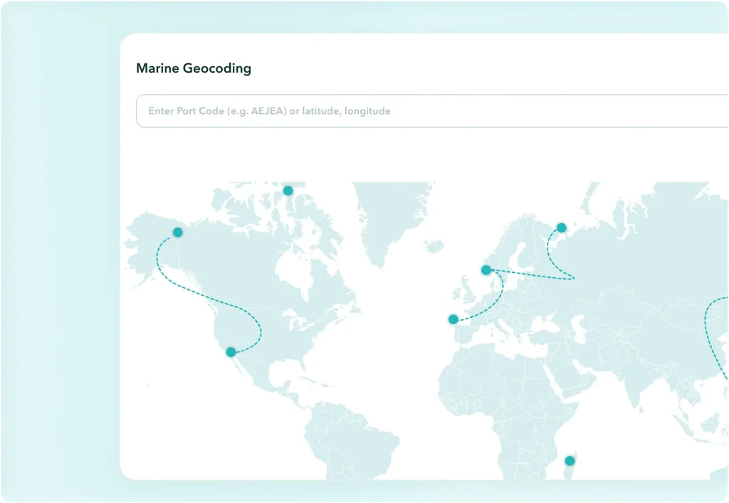
Stops can be ports or raw positions: paste a latitude and longitude and marine geocoding resolves it to a place on the chart. Each port on the route opens its own port profile, with load line zone, SECA status and risk flags already filled in.
Frequently Asked Questions
Have questions? We’re here to help.
How do I calculate the distance between two ports?
Add both ports as stops. You get navigable distance in nautical miles along the sea route, not a straight line, with sailing time at your chosen speed. Add more stops and it becomes a full multi-leg voyage.
How many nautical miles does a ship cover in a day?
Speed in knots multiplied by 24. A vessel at 12 knots covers 288 nautical miles a day at sea; at 14 knots, 336. Sea days follow from that, before port time and weather allowance.
What is SECA distance and why does it matter?
The portion of a route inside a sulphur emission control area, where the fuel limit is 0.10% m/m against 0.50% globally. Compliant fuel costs more, so SECA distance changes the bunker cost of the voyage directly.
Can it avoid piracy areas?
Yes piracy avoidance is a routing parameter, alongside SECA avoidance, archipelagic sea lane compliance and ice areas.
Use a Port to Port Distance Calculator That Knows What the Miles Cost
Distance, days, SECA exposure and an arrival you can quote then straight into the estimate.