
Introduction
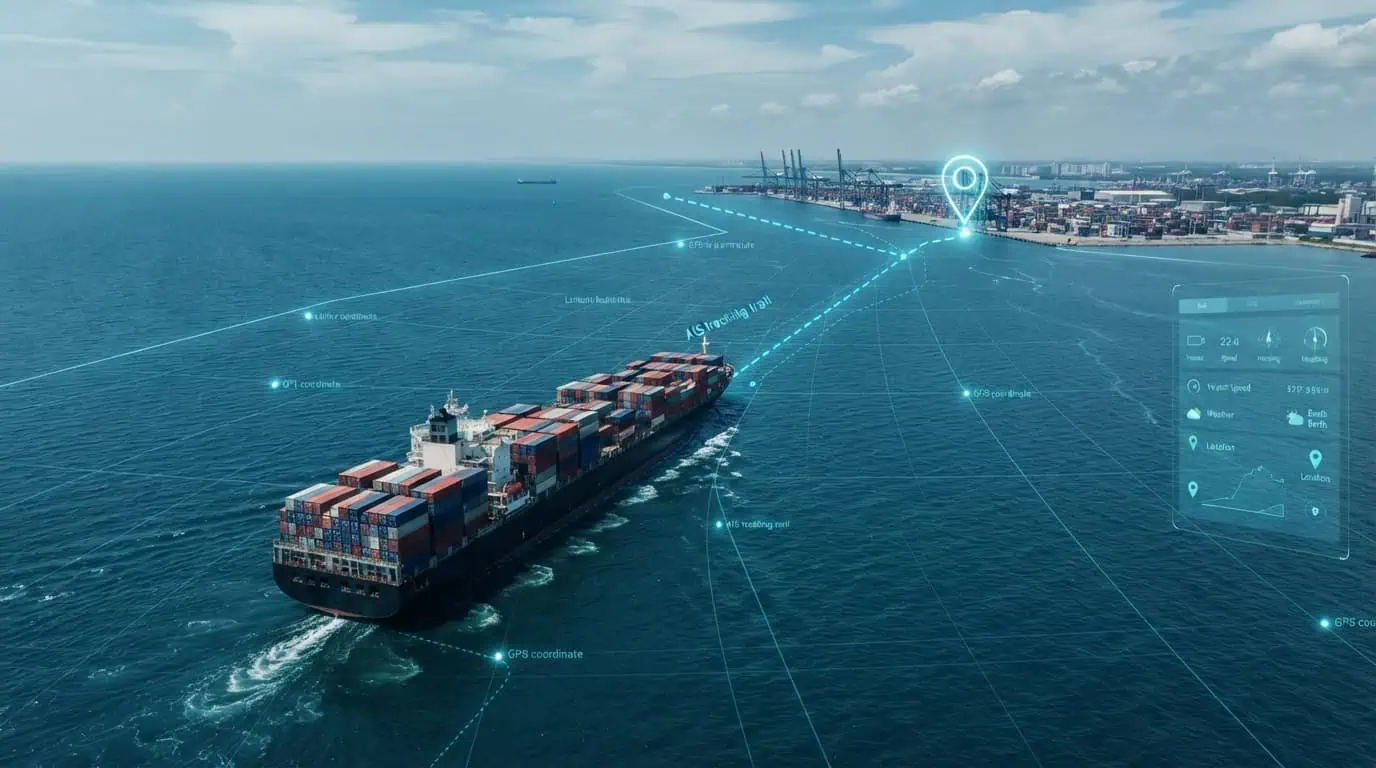
A container ship reports its position as 31.2304, 121.4737. On its own, that string of numbers means nothing to a logistics dashboard, a customs system, or a port scheduler. It’s just latitude and longitude.
Marine geocoding is the process that turns that number into something useful: “Shanghai Port, Berth 12, Yangshan Deep Water Terminal.” It’s the translation layer between raw ocean coordinates and the operational systems that keep global trade moving.
If you work in shipping, logistics, port operations, or maritime software, you’re already relying on marine geocoding — you just might not call it that. This guide breaks down what it actually is, how it differs from regular geocoding, and why it’s become a quiet but critical piece of modern shipping infrastructure.
What Is Marine Geocoding?
Marine geocoding (also called maritime geocoding) is the process of converting geographic coordinates — typically latitude and longitude from GPS or AIS signals — into structured, human-readable location information specific to ocean and coastal environments.
That includes:
- Port and terminal names
- Berth and anchorage identifiers
- Shipping lanes and traffic separation schemes
- Territorial waters and exclusive economic zones (EEZs)
- Canal and strait crossings
- Named ocean regions and fairways
It also works in reverse. Reverse marine geocoding takes a place name or port code and returns its precise coordinates, which is what routing and scheduling systems use to calculate distances and ETAs.
How It’s Different From Standard Geocoding
Standard geocoding (the kind behind Google Maps searches) is built around streets, addresses, and postal codes. Marine geocoding has to solve a different problem: most of the ocean has no address system at all.
| Factor | Standard Geocoding | Marine Geocoding |
| Reference data | Streets, addresses, postal codes | Ports, berths, EEZs, shipping lanes, buoys |
| Coverage | Land-based, dense urban data | Open ocean, coastlines, territorial waters |
| Data source | Address databases, cadastral maps | AIS feeds, nautical charts, IHO/IMO datasets |
| Update frequency | Changes slowly (new roads, buildings) | Constantly shifting (vessel positions, weather routing) |
| Jurisdiction complexity | Single country/municipality per point | Overlapping international, territorial, and EEZ boundaries |
| Precision need | Meters (building-level) | Meters to sub-meter (berth-level docking) |
A location engine tuned for city addresses will fail badly at sea — there’s no ZIP code for a point 200 nautical miles off the coast of Somalia, but a marine geocoding system still needs to tell you it’s inside a high-risk piracy zone.
How Marine Geocoding Actually Works
At a technical level, marine geocoding systems combine several layers of reference data:
1. AIS Data Ingestion
The Automatic Identification System (AIS) broadcasts a vessel’s position, speed, heading, and identity every few seconds to a few minutes, depending on vessel status. This is the raw input most marine geocoding tools work from.
2. Reference Datasets
Coordinates get matched against maritime boundary datasets, including:
- Port and terminal polygons (often sourced from the World Port Index or national hydrographic offices)
- IHO Sea Areas and ocean region boundaries
- EEZ and territorial sea boundaries (commonly from sources like Flanders Marine Institute’s Marine Regions database)
- Shipping lane and traffic separation scheme geometry from Electronic Navigational Charts (ENCs)
3. Spatial Matching
The system runs point-in-polygon and nearest-neighbor calculations to determine which port, zone, or lane a given coordinate falls inside — or is closest to, if the vessel is in open water.
4. Output Normalization
The result gets returned in a structured format (port code, UN/LOCODE, terminal name, jurisdiction) that other systems — TMS, ERP, customs platforms — can actually use.
Expert tip: If you’re evaluating a marine geocoding provider, ask what UN/LOCODE coverage looks like and how often their port polygon data is refreshed. Stale terminal boundaries are one of the most common (and hardest to spot) sources of bad ETAs.
Why Shipping Needs Marine Geocoding
Shipping runs on coordination between dozens of parties — carriers, ports, customs authorities, freight forwarders, insurers — who all need to agree on where a vessel actually is in terms they can act on.
1. Turning AIS Noise Into Operational Intelligence
Raw AIS location data is just numbers. Marine geocoding is what makes vessel tracking data usable for dashboards, alerts, and reporting — converting a coordinate stream into statements like “vessel entered Port of Rotterdam anchorage” or “vessel is 40nm from scheduled berth.”
2. Accurate ETAs and Route Optimization
Shipping route optimization tools depend on knowing precisely where a vessel is relative to named waypoints, canals, and congestion zones — not just its raw coordinates. Geocoded location data lets these systems recalculate ETAs against real port and lane boundaries instead of straight-line distance.
3. Supply Chain Visibility
Maritime supply chain visibility platforms — the tools that tell a retailer “your container is 2 days from Long Beach” — are built on top of geocoded vessel and port data. Without it, position updates can’t be tied to a shipment’s actual milestones (departed origin port, cleared canal, arrived at transshipment hub).
4. Customs, Compliance, and Sanctions Screening
Knowing whether a vessel entered a specific EEZ, territorial water, or sanctioned port is a compliance requirement, not a nice-to-have. Marine geocoding underpins sanctions screening tools that flag port calls in restricted jurisdictions.
5. Risk and Insurance Underwriting
Marine insurers use geocoded voyage data to assess exposure — time spent in piracy-risk zones, storm paths, or war-risk areas — for premium calculation and claims verification.
6. Port and Terminal Operations
Terminal operators use berth-level geocoding to automate yard planning, crane scheduling, and gate operations based on a vessel’s confirmed arrival at a specific berth, not just “somewhere near the port.”
Real-World Example: Why Berth-Level Precision Matters
Consider a bulk carrier approaching the Port of Santos, Brazil — one of the busiest and most congested ports in Latin America. A geocoding system that only resolves to “Port of Santos” isn’t precise enough: the port has dozens of terminals operated by different companies, each with separate scheduling systems.
A vessel geocoded only at the port level might trigger a generic “arrived” notification, while the terminal operator still has no confirmation of which berth to prepare. Berth-level marine geocoding — matching the vessel’s AIS position against individual terminal polygons — is what allows automated systems to trigger the correct downstream workflow: crane allocation, customs pre-clearance, or trucking dispatch.
This kind of precision gap is a common, underappreciated cause of “phantom” arrival delays in port analytics — the ship looks late in the data long after it has actually docked.
(Note: for a published version of this post, cite current port congestion statistics from sources like UNCTAD’s Review of Maritime Transport or MarineTraffic’s port congestion index to ground this example in current figures.)
Common Use Cases for Marine Geocoding
- Vessel tracking platforms – converting live AIS feeds into readable port/lane status
- Freight and logistics software – tying shipment milestones to geocoded port events
- Maritime GIS and mapping tools – building layered maps of routes, lanes, and zones
- Customs and trade compliance systems – screening for sanctioned port calls
- Insurance and risk platforms – calculating time-in-zone exposure
- Port community systems – automating berth allocation and terminal scheduling
- Environmental and regulatory reporting – tracking emissions by zone (e.g., ECA compliance)
Common Mistakes Companies Make With Marine Geocoding
- Treating ocean geocoding like land geocoding. Reusing a standard geocoding API for maritime data often returns nonsense results in open water because there’s no address data to match against.
- Ignoring polygon freshness. Ports expand, rename terminals, and dredge new berths. Outdated port polygons quietly degrade accuracy over time.
- Under-weighting AIS data gaps. Vessels can go dark due to signal loss, spoofing, or deliberate AIS switch-off. Systems that don’t handle gaps gracefully produce false “missing vessel” alerts.
- Assuming single-jurisdiction results. Coastal points can sit inside overlapping EEZ claims or disputed waters — a naive geocoder that returns only one jurisdiction can create real compliance risk.
- Skipping validation against nautical charts. Some teams rely purely on generic mapping data instead of authoritative hydrographic sources, leading to errors near coastlines and shallow-water zones.
Pros and Cons of Marine Geocoding Solutions
Pros
- Converts raw coordinates into decision-ready location context
- Enables automation across scheduling, customs, and compliance workflows
- Improves ETA accuracy and reduces manual position lookups
- Supports risk, insurance, and sanctions screening at scale
- Makes vessel tracking data usable in dashboards and BI tools
Cons
- Requires ongoing maintenance of port and boundary reference data
- AIS data quality varies by vessel, region, and equipment age
- Berth-level precision can be costly to build and maintain in-house
- Jurisdictional boundaries (EEZs, disputed waters) require legal-grade accuracy, not just spatial accuracy
- Integration complexity when connecting to legacy TMS or ERP systems
Choosing Between Building and Buying Marine Geocoding
| Consideration | Build In-House | Use a Marine Geocoding Service |
| Time to deploy | Months, often longer | Days to weeks (API integration) |
| Data maintenance | Your team owns port/boundary updates | Provider maintains reference data |
| Accuracy at scale | Depends on internal GIS expertise | Typically benchmarked against industry data |
| Cost structure | High upfront, ongoing engineering cost | Usage-based or subscription pricing |
| Best fit | Large carriers/ports with dedicated GIS teams | Logistics, insurance, and software companies without in-house maritime GIS |
Expert tip: Even companies with strong GIS teams often outsource port polygon and EEZ boundary maintenance specifically, since that data changes based on international disputes and dredging projects that internal teams rarely track in real time.
Frequently Asked Questions
What is marine geocoding used for?
It’s used to convert vessel coordinates from GPS or AIS into readable locations like ports, berths, and maritime zones — powering vessel tracking, shipping route optimization, customs screening, and supply chain visibility tools.
How is marine geocoding different from AIS tracking?
AIS tracking provides raw position data (coordinates, speed, heading). Marine geocoding interprets that data against maritime reference layers to tell you what location it represents — like a specific port or shipping lane.
Is marine geocoding the same as maritime GIS?
Not quite. Maritime GIS is the broader discipline of mapping and analyzing geographic data at sea. Marine geocoding is one function within maritime GIS, specifically focused on translating coordinates into named locations and back.
What data sources power marine geocoding?
Common sources include AIS feeds, the World Port Index, national hydrographic office charts, IHO Sea Areas, and EEZ/territorial boundary datasets such as Marine Regions.
Can marine geocoding work without AIS data?
Yes, though less commonly. Satellite imagery, VMS (Vessel Monitoring System) data used in fisheries, and manually reported positions can also be geocoded, though AIS remains the primary input for commercial shipping.
How accurate is marine geocoding?
Accuracy depends on the reference data and AIS signal quality. Port-level geocoding is generally very reliable; berth-level precision depends on how current and detailed the terminal polygon data is.
Do small logistics companies need marine geocoding?
If you’re tracking ocean freight shipments, tying AIS positions to milestones, or handling compliance screening, yes — usually through a third-party API rather than building it internally.
Conclusion: Key Takeaways
Marine geocoding isn’t a niche technical curiosity — it’s the layer that makes ocean shipping data usable. Every automated ETA, port-call alert, and compliance check downstream of a vessel’s raw GPS signal depends on it.
Actionable next steps:
- If you’re evaluating vendors, ask specifically about port polygon refresh cycles and berth-level coverage, not just “do you support AIS.”
- Audit your current tracking stack for phantom-arrival issues they’re often a symptom of port-level (not berth-level) geocoding.
- Don’t reuse land-based geocoding tools for maritime data; the reference datasets are fundamentally different.
- For compliance-sensitive operations, confirm how your geocoding provider handles overlapping or disputed jurisdictional waters.
Getting this layer right doesn’t just clean up your data it removes a quiet source of delay and risk that compounds across every shipment you move.